Overview:
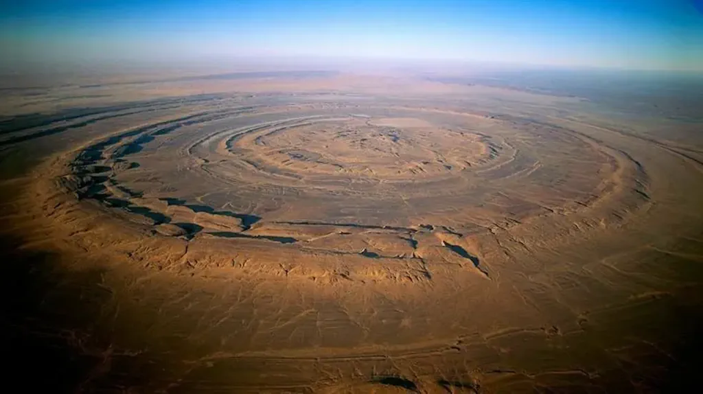
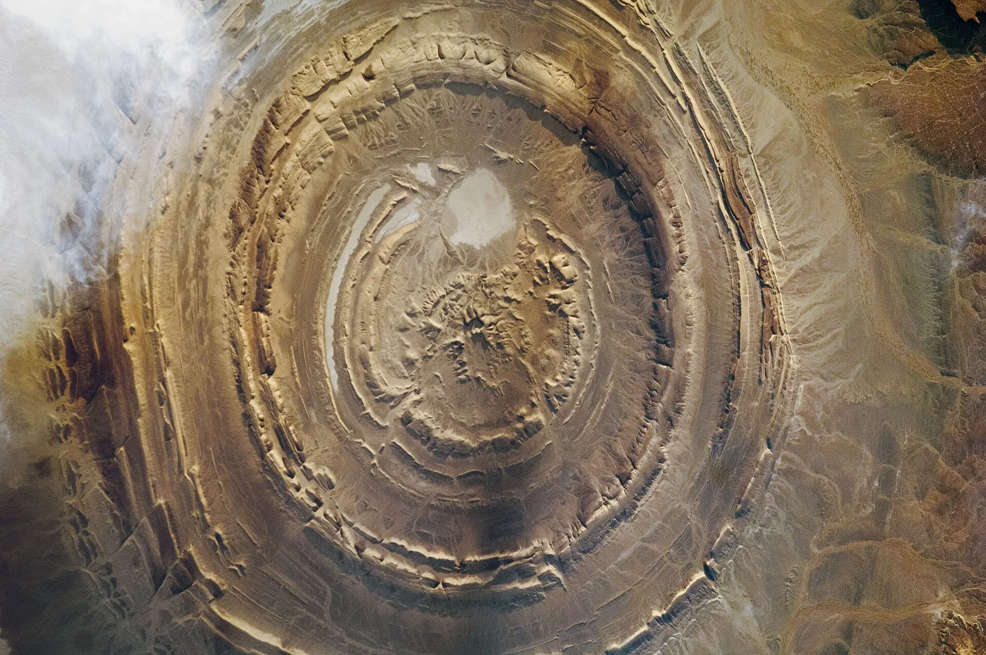
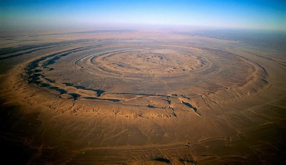
The Richat Structure, dubbed the "Eye of the Sahara," looms in Mauritania’s desert expanse—a geological enigma with concentric rings that echo Plato’s vision of Atlantis. Was this once a thriving hub, lost to time and cataclysm as the Sahara transformed from a green oasis to a barren waste? Our mission is to map this 40-kilometer wonder in detail, probing its secrets to uncover whether it could be the fabled lost city. We’re calling on bold thinkers to join the hunt.
Objective:
We aim to create a comprehensive, high-resolution map of the Richat Structure, harnessing LiDAR mapping technology, photogrammetry, satellite imagery, on-the-ground exploration, and innovative approaches to deepen our understanding of its formation and significance.
Call for Proposals:
We seek proposals from adventurers, archaeologists, scientists, creators, and innovators to map the Richat Structure and test the Atlantis theory. Could this be the site of a civilization erased by floods or some other cataclysmic event? Bring your ideas to the table.
What We’re Looking For:
Exploration Plans:
Strategies to map the structure—think drones, satellite tech, ground surveys, or geophysical scans—to reveal its past.
Expedition Operations:
This is a monumental mapping project that will take some time to complete. We will need a comprehensive plan for a sustained mission. Transport, food, water, shelter, electricity, and security requirements need to be considered.
Atlantis Evidence:
Methods to investigate links to Plato’s tale, like geological signs of ancient water, seismic events, or buried human traces.
Field Research:
Proposals for on-site expeditions to collect data, from soil samples to artifact hunts.
Storytelling:
Creative ways to share the journey—visualizations, films, or interactive maps to ignite global curiosity.
Gallery:
Comments:
No comments yet. Be the first to comment!
Leave a Comment
Log in to leave a comment.